Dubai goes big on nanosatellites for water observations

Dubai’s water and electricity authority has launched a new nanosatellite to track its water transmission, as part of a larger space programme.
Water management from above
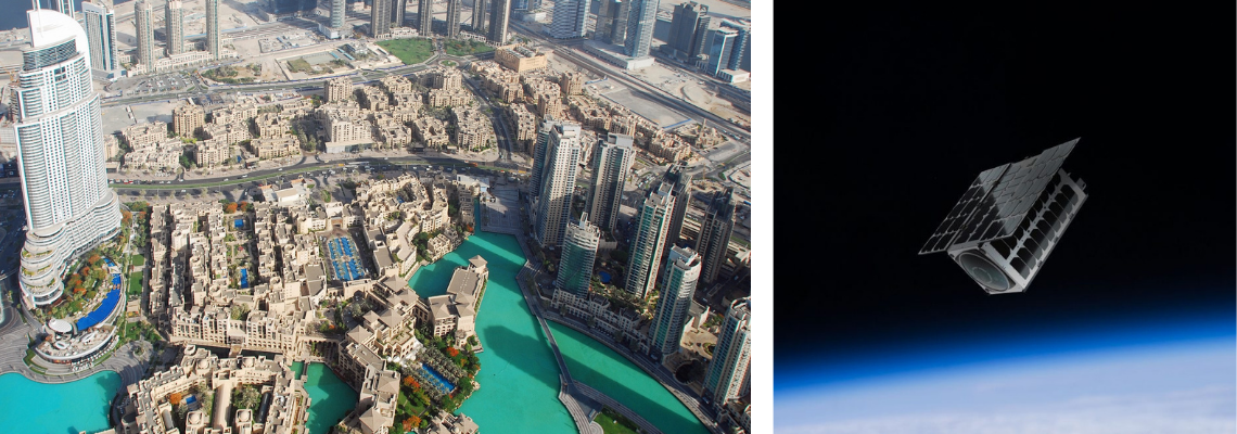
The Dubai Electricity and Water Authority (DEWA) has launched a new 3U nanosatellite, 'DEWA-SAT1', to manage its water transmission and power grids as it looks to leverage the technology to the global utility sector.
In collaboration with US firm NanoAvionics, a small satellite bus manufacturer and mission integrator, DEWA said the new nanosatellite with allow the utility to better manage its water by identifying maintenance issues and plan future water networks.
The launch makes DEWA the world’s first utility to use nanosatellites to improve the operation, maintenance, and planning of electricity and water networks.
It comes as part of the DEWA's larger Space-D programme that was launched in January 2021 to consolidate Dubai's position in utilising the latest space technology.
The DEWA-SAT1 that was launched in January will sit in the Earth's low orbit at 525 kilometres and will travel 7.5 kilometres per second - orbiting the Earth in 90 minutes.
DEWA says it chose nanosatellite networks to monitor water systems rather than drones due to its flexibility and agility in monitoring, managing, and maintaining its electricity and water networks.
“We intend nanosatellite technology to complement the terrestrial IoT communication network to increase the efficiency and effectiveness of DEWA’s operations and support the digitisation of our electricity and water networks."
DEWA plans to develop use-cases using DEWA-SAT1 IoT technology for water management and build a 'constellation' of nanosatellites, bringing together the Internet of Things (IoT), Artificial Intelligence (AI), blockchain, and information exchange through space communications.
“We intend nanosatellite technology to complement the terrestrial IoT communication network to increase the efficiency and effectiveness of DEWA’s operations and support the digitisation of our electricity and water networks,” said HE Saeed Mohammed Al Tayer, managing director & CEO of DEWA.
The rise of SAAS for water
While the use of satellites to monitor water is not a new development, DWEA hopes the development will be part of a new business model offering.
Satellite-As-A-Service (SAAS) appears to be the end goal for the DEWA as it looks to prove the added benefits to water utilities of having access to a network of nanosatellites.
“Through our commercial partners [DEWA] can offer SAAS to the global utility industry leveraging the expertise developed in building the satellite technology, offering grid and water network operators data and niche utility use-cases to improve their operations, planning, and to support their digitalisation journey," said Al Tayer.
“By the end of 2022, we are planning to launch another nanosatellite for remote sensing applications using a custom-made imager and spectrometer technology.”
The Earth Observation Science market is set to be worth £2 billion by 2027, with multiple companies now competing in this space.
"By the end of 2022, we are planning to launch another nanosatellite for remote sensing applications using a custom-made imager and spectrometer technology with high temporal and spatial resolution,” added Al Tayer.
What is a nanosatellite?
Weighing less than 10kg, and otherwise known as CubeSats, nanosatellites come in various arrays, according to NASA.
CubeSats are cube-like structures that usually measure 10x10x10 centimetres with a mass of around 1.3kg - a single CubeSat is referred to as a 1U.
The DEWA-SAT1 is a 3U nanosatellite meaning it is three CubeSats on top of each other.
“A nanosatellite can be built and placed in orbit for €500,000.”
"We plan to launch a 6U nanosatellite with customised high-resolution image sensing technology to be specifically designed for DEWA to communicate with its IoT terminals," Al Tayer added.
The benefits of using nanosatellites are the reduced size, lower prices to produce and significantly less time spent in developing specific ones.
Depending on the specifications, a nanosatellite can be built and placed in orbit for €500,000, compared to the cost of a conventional satellite that can be as high as €500 million.


